Assets Do Not Get Lost. They Hide.
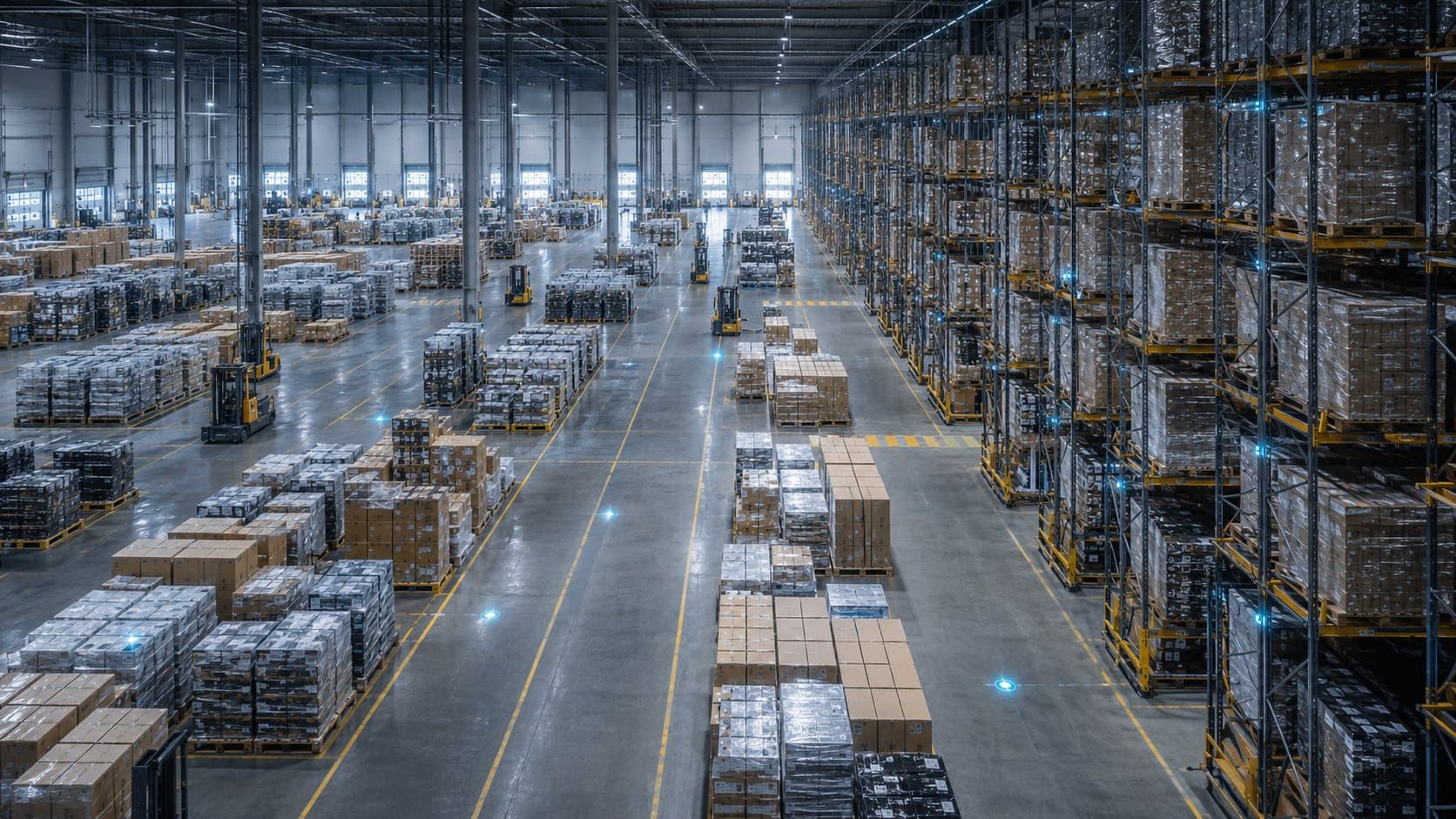
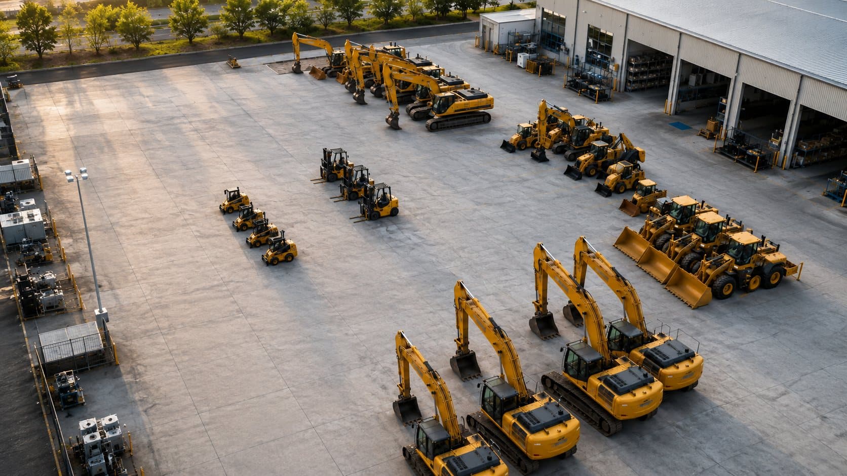
In a yard covering several hectares or a plant with dozens of areas, no asset truly disappears. The excavator is somewhere. The forklift is somewhere. The mold that costs as much as a car is somewhere.
The problem is that "somewhere" does not show up in any system. So the operation pays the price of searching: staff walking the yard, radios asking who saw it last, equipment rented because your own "could not be found", and projects on hold waiting for a machine that was two hundred meters away.
Real-time asset tracking removes the word "search" from your operation.
What Is a Location Digital Twin?
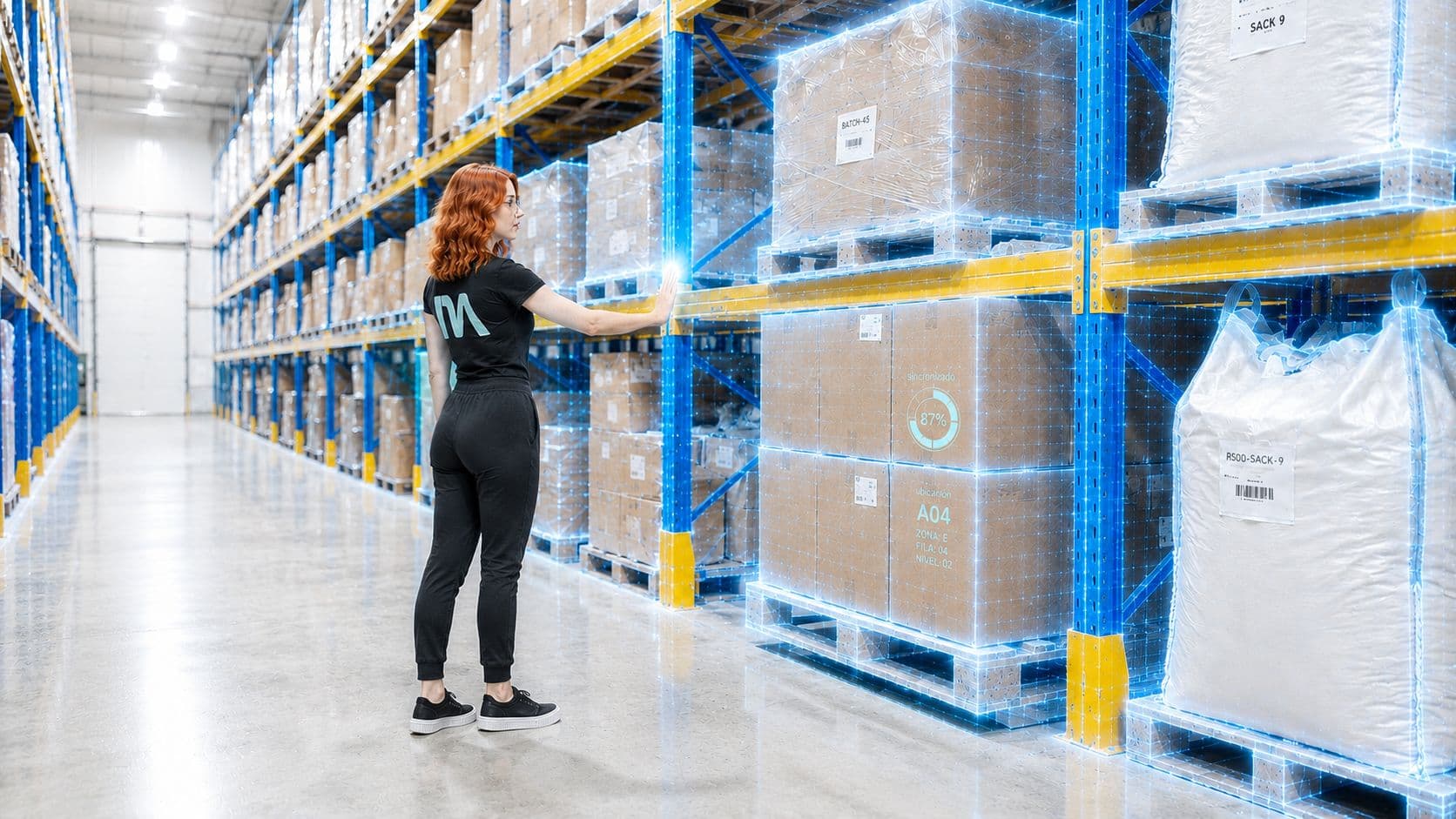
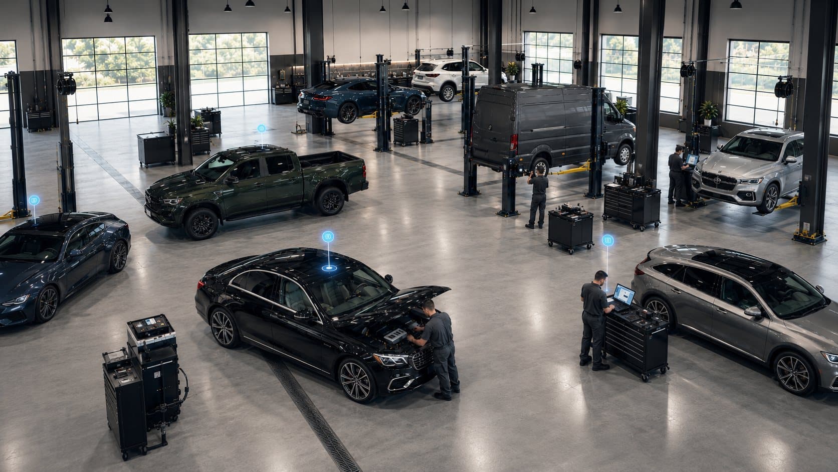
Picture the layout of your yard or plant on a screen. On that layout, a pin for every asset: machinery, trailers, forklifts, tooling. The pins move when the assets move.
That is a location digital twin: a living copy of your physical operation where "where is it?" gets answered in two seconds, not two hours.
With it, the platform automatically records:
- The current location of every asset, on the real map of your facility
- Movement history: where it went, when, and how long it stayed
- Dwell time per zone: how many hours that trailer has been at the dock
- Geofence entries and exits: allowed, restricted and high-risk zones
This is how Lyna Assets, the AI asset tracking solution, works.
The Metric Nobody Measures: Utilization
Knowing where an asset is delivers half the value. The other half is knowing how much it works.
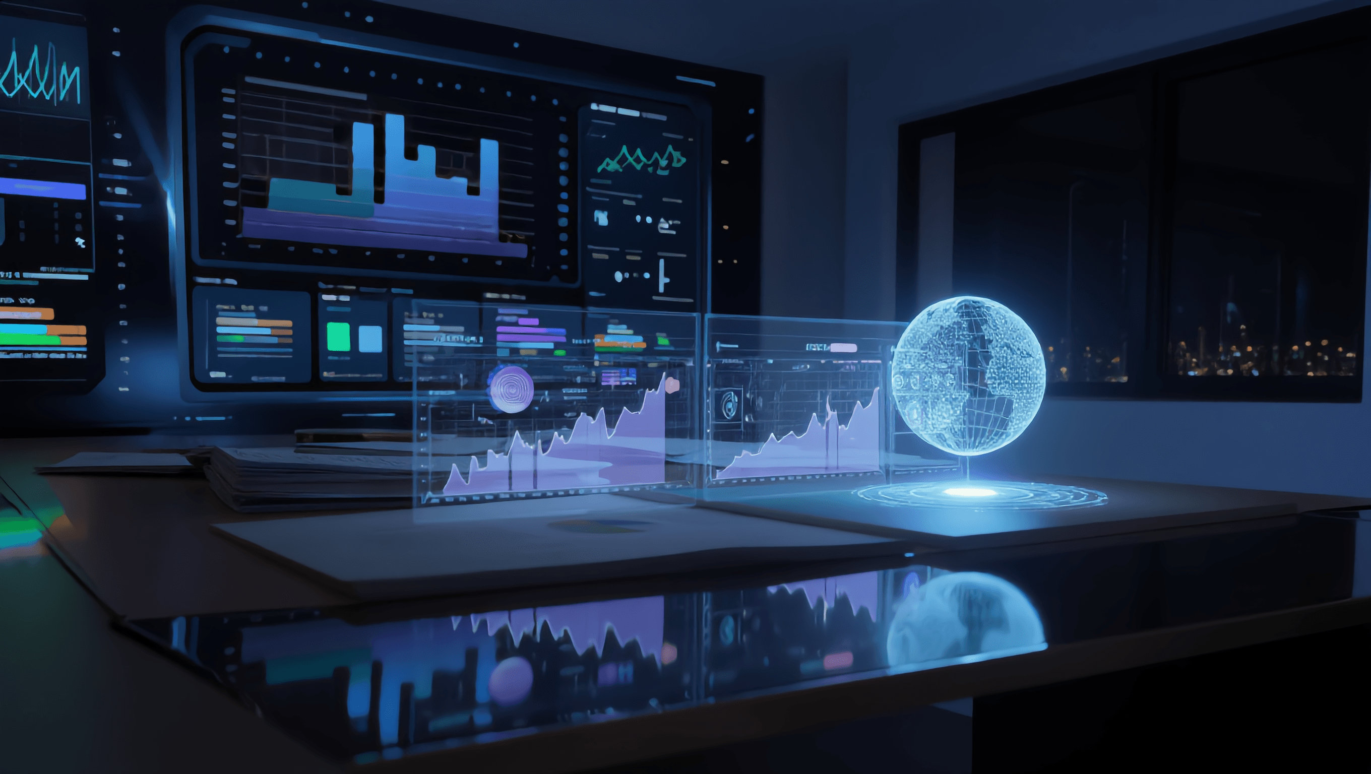
Utilization is the percentage of time an asset actually operates. And when it is measured for the first time, the surprise is almost universal: a meaningful part of the fleet is underutilized. Some equipment sits still for weeks while an identical unit gets rented in another zone.
With utilization measured per asset and per zone you can:
- Spot underutilized equipment and reassign it before renting or buying more
- Compare zones and shifts: where the real work concentrates
- Put a number on opportunity cost: what idle iron is worth
- Make the next capital decision with data (or avoid it altogether)
Alerts That Protect the Fleet
The live map also protects. With geofences drawn on the layout, the platform speaks up the instant something goes off script:
- An asset enters a restricted or high-risk zone
- A piece of equipment leaves the perimeter outside its schedule
- A trailer stays too long at a dock or keeps a zone occupied
- A zone's occupancy exceeds plan, hour by hour
Every alert arrives with context: which asset, which zone, at what time and along which route. What used to be discovered the next day (or never) now gets handled in the moment.
Where Does It Apply?
Asset tracking has the most impact where space is large and assets are expensive:
- Heavy equipment yards: construction, mining, machinery rental companies
- Industrial plants: forklifts, cranes, mobile racks, tooling and molds
- Logistics hubs: trailers, containers, dollies and yard equipment
- Agribusiness: tractors and implements spread across enormous areas
The rule is simple: if you have ever paid for search hours, unnecessary rentals or a stalled project because an asset could not be found, real-time tracking pays for itself.
From Searching to Orchestrating
There is a mindset shift the first time the map lights up: the yard stops being a black box and becomes a board. You see the whole fleet, you see where there is surplus and where there is shortage, you see the real flow of your operation.
And on that board, the platform's AI starts suggesting: what to reassign, which zone is saturating, which asset has been idle too long. No more guessing, no more inspection rounds: decisions based on facts, in real time.
Your assets already move every day. The only question is whether you can see them move.